
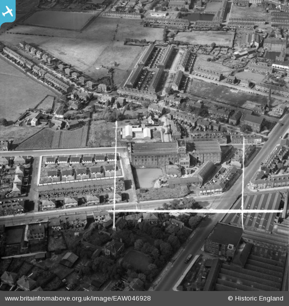
EAW046928 ENGLAND (1952). Silcoms Victoria Mill (Toolmakers), Farnworth, 1952. This image was marked by Aerofilms Ltd for photo editing.
© Copyright OpenStreetMap contributors and licensed by the OpenStreetMap Foundation. 2026. Cartography is licensed as CC BY-SA.
Nearby Images (19)
EAW046928
, Farnworth, 1952. This image was marked by Aerofilms Ltd for photo editing.")
EAW046925
, Farnworth, 1952. This image was marked by Aerofilms Ltd for photo editing.")
EAW046689

EAW046688

EAW046686

EAW046692

EAW046690

EPW018817

EAW046691

EAW046924
, Farnworth, 1952. This image was marked by Aerofilms Ltd for photo editing.")
EAW046927
, Farnworth, 1952. This image was marked by Aerofilms Ltd for photo editing.")
EAW046923
 and Albert Road, Farnworth, 1952. This image was marked by Aerofilms Ltd for photo editing.")
EAW046929
, Farnworth, 1952. This image was marked by Aerofilms Ltd for photo editing.")
EAW046687

EAW046684

EAW046685

EAW046926
, Farnworth, 1952. This image was marked by Aerofilms Ltd for photo editing.")
EAW046693

EAW046930
, Farnworth, 1952. This image was marked by Aerofilms Ltd for photo editing.")
Details
| Title | [EAW046928] Silcoms Victoria Mill (Toolmakers), Farnworth, 1952. This image was marked by Aerofilms Ltd for photo editing. |
| Reference | EAW046928 |
| Date | 13-September-1952 |
| Link | |
| Place name | FARNWORTH |
| Parish | |
| District | |
| Country | ENGLAND |
| Easting / Northing | 373503, 405279 |
| Longitude / Latitude | -2.3999036724289, 53.54323859995 |
| National Grid Reference | SD735053 |
Pins

cygnetuk |
Sunday 31st of December 2017 12:43:11 AM |