
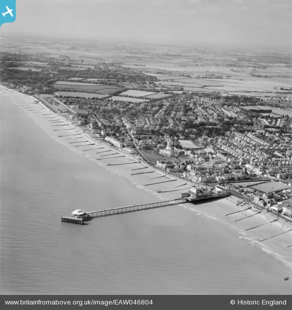
EAW046804 ENGLAND (1952). The pier and the town, Bognor Regis, from the east, 1952
© Copyright OpenStreetMap contributors and licensed by the OpenStreetMap Foundation. 2026. Cartography is licensed as CC BY-SA.
Nearby Images (12)
EAW046804

EAW046803

EPW040108

EPW040100

EAW022235

EAW046503

EAW046504

EPW040105

EPW040103

EAW022233

EPW040107

EPW000760

Details
| Title | [EAW046804] The pier and the town, Bognor Regis, from the east, 1952 |
| Reference | EAW046804 |
| Date | 16-September-1952 |
| Link | |
| Place name | BOGNOR REGIS |
| Parish | BOGNOR REGIS |
| District | |
| Country | ENGLAND |
| Easting / Northing | 493533, 98652 |
| Longitude / Latitude | -0.67317615816857, 50.77932667558 |
| National Grid Reference | SZ935987 |
Pins
Be the first to add a comment to this image!