
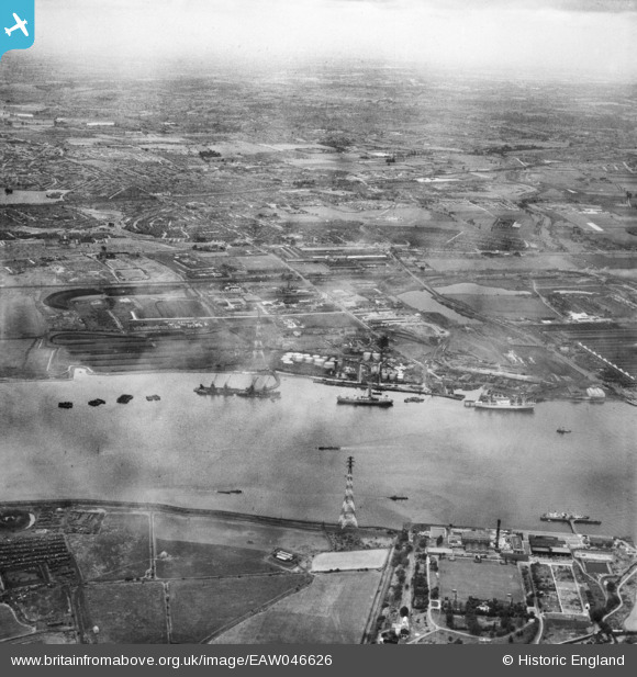
EAW046626 ENGLAND (1952). The River Thames at Halfway Reach and the Dagenham area, Dagenham, from the south-west, 1952
© Copyright OpenStreetMap contributors and licensed by the OpenStreetMap Foundation. 2026. Cartography is licensed as CC BY-SA.
Nearby Images (14)
EAW046626

EAW046623

EPW021388

EPW021390

EAW046624

EAW046776

EAW046773

EAW046772

EAW046625

EPW040945

EAW014597

EAW031154

EPW059960

EPW059961

Details
| Title | [EAW046626] The River Thames at Halfway Reach and the Dagenham area, Dagenham, from the south-west, 1952 |
| Reference | EAW046626 |
| Date | 2-September-1952 |
| Link | |
| Place name | DAGENHAM |
| Parish | |
| District | |
| Country | ENGLAND |
| Easting / Northing | 548505, 181658 |
| Longitude / Latitude | 0.14041332491524, 51.513819377813 |
| National Grid Reference | TQ485817 |
Pins
Be the first to add a comment to this image!