
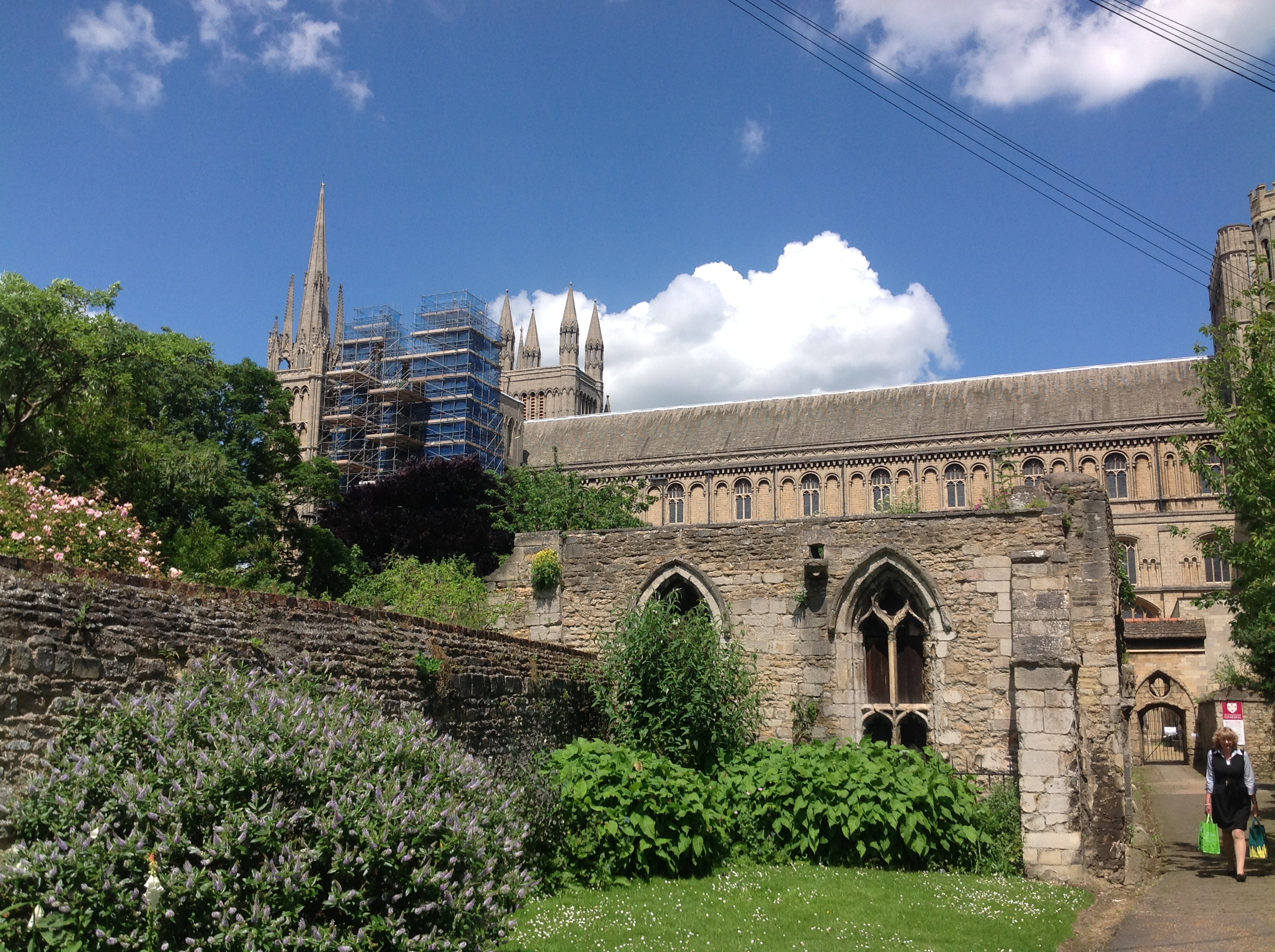
EAW046611 ENGLAND (1952). Peterborough Cathedral and the surrounding area, Peterborough, 1952

© Copyright OpenStreetMap contributors and licensed by the OpenStreetMap Foundation. 2026. Cartography is licensed as CC BY-SA.
Nearby Images (14)
EAW046611

EAW005688

EPW050307

EPW009852

EAW046612

EPW044909

EAW005687

EAW005689

EPW044908

EPW044907

EPW009853

EPW039170

EAW046610

EPW050305

Details
| Title | [EAW046611] Peterborough Cathedral and the surrounding area, Peterborough, 1952 |
| Reference | EAW046611 |
| Date | 1-September-1952 |
| Link | |
| Place name | PETERBOROUGH |
| Parish | |
| District | |
| Country | ENGLAND |
| Easting / Northing | 519445, 298708 |
| Longitude / Latitude | -0.2372795222082, 52.572700679266 |
| National Grid Reference | TL194987 |
Pins

RonC |
Tuesday 11th of June 2024 06:41:28 PM | |
 |

Class31 |
Wednesday 11th of June 2014 07:26:22 AM |
|
Class31 |
Wednesday 11th of June 2014 07:22:55 AM |

User Comment Contributions
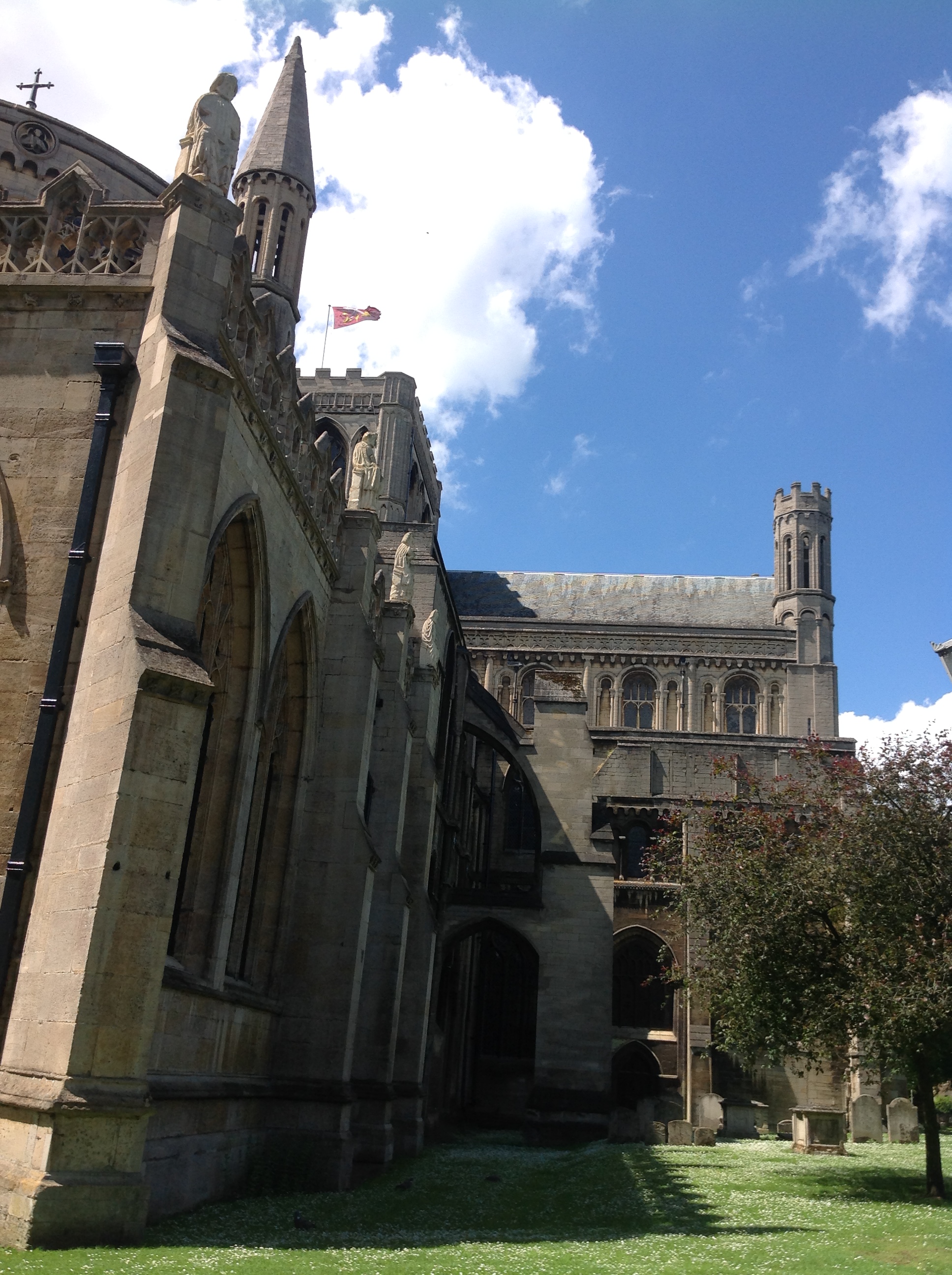
Peterborough Cathedral, properly the Cathedral Church of St Peter, St Paul and St Andrew – also known as Saint Peter's Cathedral, Peterborough , 10/06/2014 |
Class31 |
Wednesday 11th of June 2014 07:18:29 AM |
Peterborough Cathedral, properly the Cathedral Church of St Peter, St Paul and St Andrew – also known as Saint Peter's Cathedral, Peterborough , 10/06/2014 |
Class31 |
Wednesday 11th of June 2014 07:17:26 AM |

Peterborough Cathedral, properly the Cathedral Church of St Peter, St Paul and St Andrew – also known as Saint Peter's Cathedral, Peterborough , 10/06/2014 |
Class31 |
Wednesday 11th of June 2014 07:16:39 AM |

Peterborough Cathedral, properly the Cathedral Church of St Peter, St Paul and St Andrew – also known as Saint Peter's Cathedral, Peterborough , 10/06/2014 |
Class31 |
Wednesday 11th of June 2014 07:15:51 AM |