
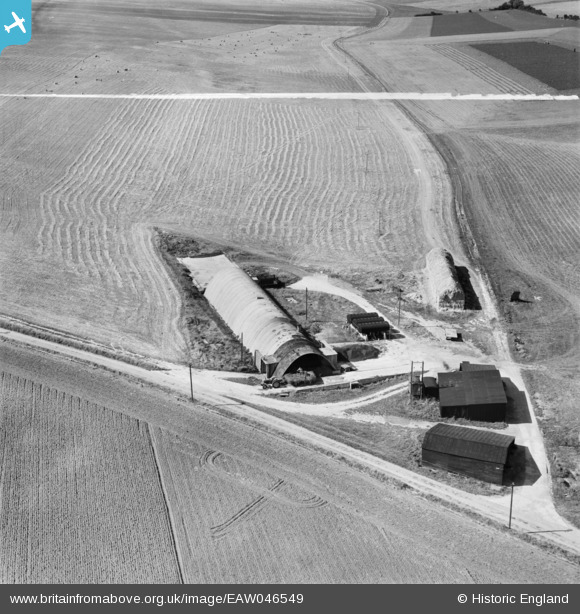
EAW046549 ENGLAND (1952). Oldlands Piggery on West Hill, Collingbourne Ducis, 1952. This image was marked by Aerofilms Ltd for photo editing.
© Copyright OpenStreetMap contributors and licensed by the OpenStreetMap Foundation. 2025. Cartography is licensed as CC BY-SA.
Nearby Images (4)
EAW046549

EAW046550

EAW046546

EAW046548

Details
| Title | [EAW046549] Oldlands Piggery on West Hill, Collingbourne Ducis, 1952. This image was marked by Aerofilms Ltd for photo editing. |
| Reference | EAW046549 |
| Date | 29-August-1952 |
| Link | |
| Place name | COLLINGBOURNE DUCIS |
| Parish | COLLINGBOURNE DUCIS |
| District | |
| Country | ENGLAND |
| Easting / Northing | 422850, 153799 |
| Longitude / Latitude | -1.6723359727132, 51.282363866162 |
| National Grid Reference | SU229538 |
Pins
Be the first to add a comment to this image!