
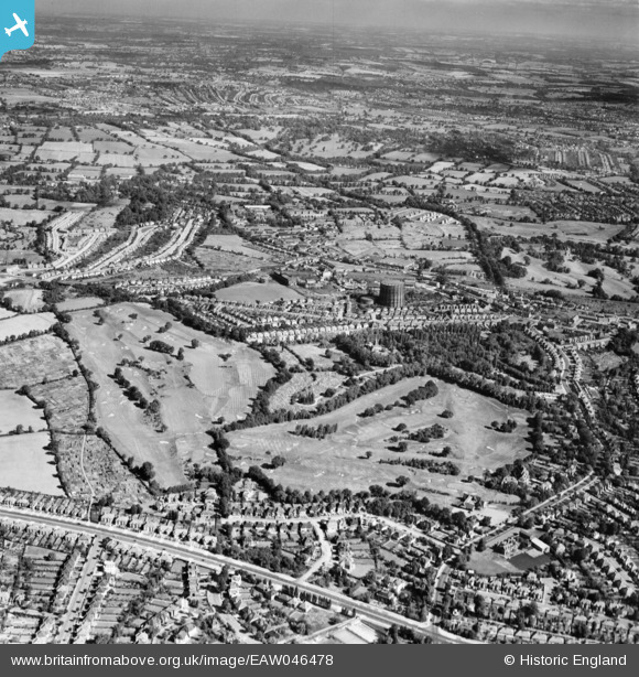
EAW046478 ENGLAND (1952). Hendon Golf Course, Holders Hill and environs, Mill Hill, from the south, 1952
© Copyright OpenStreetMap contributors and licensed by the OpenStreetMap Foundation. 2026. Cartography is licensed as CC BY-SA.
Nearby Images (2)
EAW046478

EPW010850

Details
| Title | [EAW046478] Hendon Golf Course, Holders Hill and environs, Mill Hill, from the south, 1952 |
| Reference | EAW046478 |
| Date | 28-August-1952 |
| Link | |
| Place name | MILL HILL |
| Parish | |
| District | |
| Country | ENGLAND |
| Easting / Northing | 523633, 190493 |
| Longitude / Latitude | -0.21475585498194, 51.599220795131 |
| National Grid Reference | TQ236905 |
Pins

The Laird |
Friday 20th of April 2018 03:31:37 PM | |
|
The Laird |
Friday 20th of April 2018 11:12:26 AM | |
|
The Laird |
Friday 20th of April 2018 11:10:28 AM | |
|
The Laird |
Saturday 10th of October 2015 06:29:56 PM | |
|
The Laird |
Saturday 10th of October 2015 05:03:37 PM | |
|
The Laird |
Saturday 10th of October 2015 05:00:41 PM | |
|
The Laird |
Saturday 10th of October 2015 04:58:46 PM |