
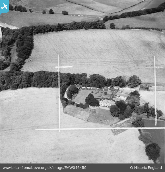
EAW046459 ENGLAND (1952). Morris Hall and the surrounding countryside, Norham, 1952. This image was marked by Aerofilms Ltd for photo editing.
© Copyright OpenStreetMap contributors and licensed by the OpenStreetMap Foundation. 2025. Cartography is licensed as CC BY-SA.
Nearby Images (6)
EAW046459

EAW046462

EAW046461

EAW046463

EAW046460

EAW046458

Details
| Title | [EAW046459] Morris Hall and the surrounding countryside, Norham, 1952. This image was marked by Aerofilms Ltd for photo editing. |
| Reference | EAW046459 |
| Date | 25-August-1952 |
| Link | |
| Place name | NORHAM |
| Parish | NORHAM |
| District | |
| Country | ENGLAND |
| Easting / Northing | 390977, 647511 |
| Longitude / Latitude | -2.143654680573, 55.720948315023 |
| National Grid Reference | NT910475 |
Pins
Be the first to add a comment to this image!