
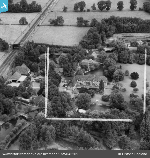
EAW046209 ENGLAND (1952). Tyle Mill, Sulhamstead, 1952. This image was marked by Aerofilms Ltd for photo editing.
© Copyright OpenStreetMap contributors and licensed by the OpenStreetMap Foundation. 2026. Cartography is licensed as CC BY-SA.
Nearby Images (6)
EAW046209

EAW046212

EAW046210

EAW046208

EAW046207

EAW046211

Details
| Title | [EAW046209] Tyle Mill, Sulhamstead, 1952. This image was marked by Aerofilms Ltd for photo editing. |
| Reference | EAW046209 |
| Date | 21-August-1952 |
| Link | |
| Place name | SULHAMSTEAD |
| Parish | SULHAMSTEAD |
| District | |
| Country | ENGLAND |
| Easting / Northing | 462457, 169245 |
| Longitude / Latitude | -1.1017194216694, 51.41828221782 |
| National Grid Reference | SU625692 |
Pins
Be the first to add a comment to this image!