
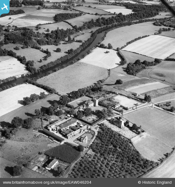
EAW046204 ENGLAND (1952). Holt Castle Farm, St Martin's Church and Holt Castle, Holt, 1952
© Copyright OpenStreetMap contributors and licensed by the OpenStreetMap Foundation. 2025. Cartography is licensed as CC BY-SA.
Nearby Images (4)
EAW046204

EAW046206

EAW046203

EAW046205

Details
| Title | [EAW046204] Holt Castle Farm, St Martin's Church and Holt Castle, Holt, 1952 |
| Reference | EAW046204 |
| Date | 25-August-1952 |
| Link | |
| Place name | HOLT |
| Parish | HOLT |
| District | |
| Country | ENGLAND |
| Easting / Northing | 383139, 262551 |
| Longitude / Latitude | -2.2470665375854, 52.260471647889 |
| National Grid Reference | SO831626 |
Pins
Be the first to add a comment to this image!