
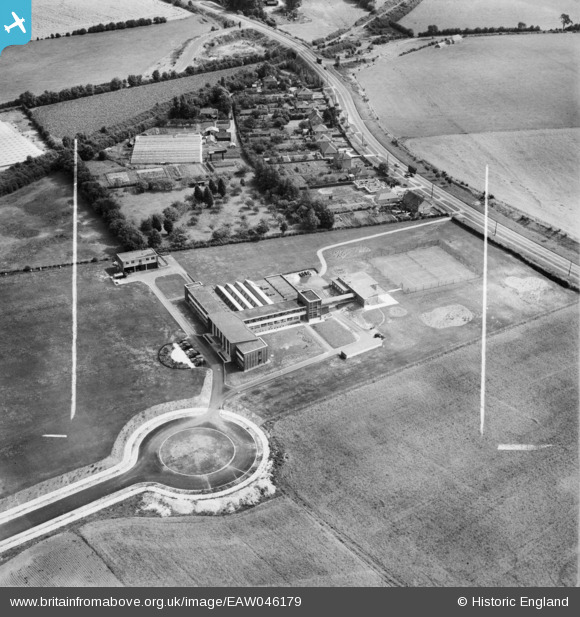
EAW046179 ENGLAND (1952). L.M. Van Moppes and Sons Ltd Tool Works, Cranbourne, 1952. This image was marked by Aerofilms Ltd for photo editing.
© Copyright OpenStreetMap contributors and licensed by the OpenStreetMap Foundation. 2025. Cartography is licensed as CC BY-SA.
Nearby Images (7)
EAW046179

EAW046180

EAW046181

EAW046176

EAW046175

EAW046177

EAW046178

Details
| Title | [EAW046179] L.M. Van Moppes and Sons Ltd Tool Works, Cranbourne, 1952. This image was marked by Aerofilms Ltd for photo editing. |
| Reference | EAW046179 |
| Date | 21-August-1952 |
| Link | |
| Place name | CRANBOURNE |
| Parish | |
| District | |
| Country | ENGLAND |
| Easting / Northing | 462639, 150594 |
| Longitude / Latitude | -1.1023832966189, 51.25055881173 |
| National Grid Reference | SU626506 |
