
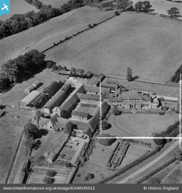
EAW045913 ENGLAND (1952). Vernon's Oak Farm, Sudbury, 1952. This image was marked by Aerofilms Ltd for photo editing.
© Copyright OpenStreetMap contributors and licensed by the OpenStreetMap Foundation. 2025. Cartography is licensed as CC BY-SA.
Nearby Images (5)
EAW045912

EAW045913

EAW045916

EAW045915

EAW045914

Details
| Title | [EAW045913] Vernon's Oak Farm, Sudbury, 1952. This image was marked by Aerofilms Ltd for photo editing. |
| Reference | EAW045913 |
| Date | 14-August-1952 |
| Link | |
| Place name | SUDBURY |
| Parish | SUDBURY |
| District | |
| Country | ENGLAND |
| Easting / Northing | 415144, 336157 |
| Longitude / Latitude | -1.7747242346619, 52.922296210925 |
| National Grid Reference | SK151362 |
Pins
Be the first to add a comment to this image!