
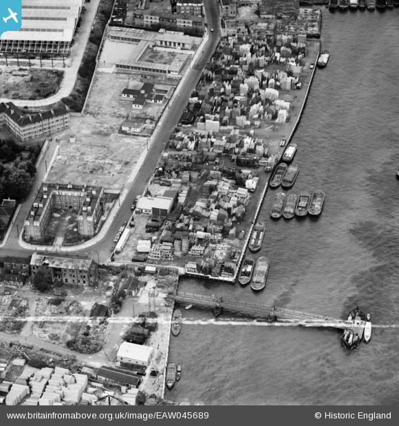
EAW045689 ENGLAND (1952). Trinity Wharf, Rotherhithe, 1952. This image was marked by Aerofilms Ltd for photo editing.
© Copyright OpenStreetMap contributors and licensed by the OpenStreetMap Foundation. 2026. Cartography is licensed as CC BY-SA.
Nearby Images (9)
EAW045689

EAW045696

EAW045697

EAW045692

EAW045693

EAW045690

EAW045691

EAW045694

EAW045695

Details
| Title | [EAW045689] Trinity Wharf, Rotherhithe, 1952. This image was marked by Aerofilms Ltd for photo editing. |
| Reference | EAW045689 |
| Date | 31-July-1952 |
| Link | |
| Place name | ROTHERHITHE |
| Parish | |
| District | |
| Country | ENGLAND |
| Easting / Northing | 536637, 179784 |
| Longitude / Latitude | -0.031253879751663, 51.499972968404 |
| National Grid Reference | TQ366798 |
Pins

Germander Speedwell |
Sunday 11th of November 2018 07:24:34 PM |