
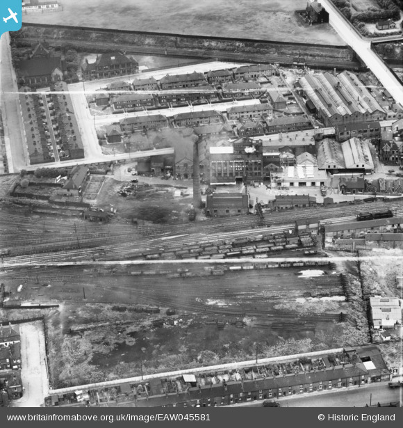
EAW045581 ENGLAND (1952). Newton Heath Brewery, Harpurhey, 1952. This image was marked by Aerofilms Ltd for photo editing.
© Copyright OpenStreetMap contributors and licensed by the OpenStreetMap Foundation. 2026. Cartography is licensed as CC BY-SA.
Nearby Images (10)
EAW045581

EAW045589

EAW045580

EAW045587

EAW045582

EAW045586

EAW045588

EAW045583

EAW045585

EAW045584

Details
| Title | [EAW045581] Newton Heath Brewery, Harpurhey, 1952. This image was marked by Aerofilms Ltd for photo editing. |
| Reference | EAW045581 |
| Date | July-1952 |
| Link | |
| Place name | HARPURHEY |
| Parish | |
| District | |
| Country | ENGLAND |
| Easting / Northing | 386454, 400290 |
| Longitude / Latitude | -2.2042280421026, 53.498884464531 |
| National Grid Reference | SD865003 |
