
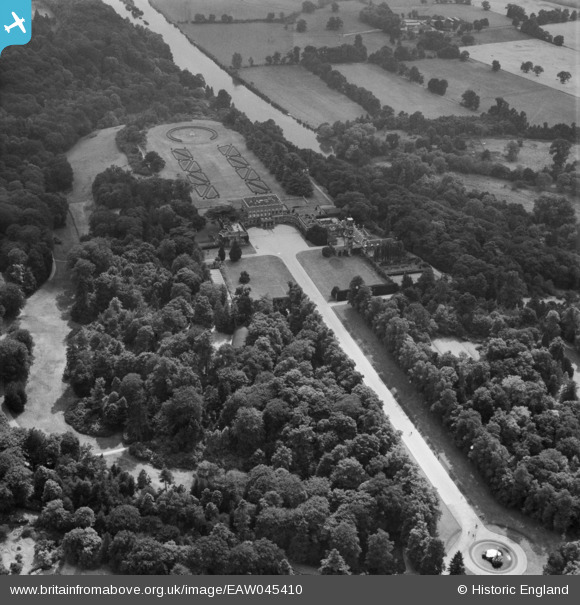
EAW045410 ENGLAND (1952). Cliveden, Taplow, 1952
© Copyright OpenStreetMap contributors and licensed by the OpenStreetMap Foundation. 2026. Cartography is licensed as CC BY-SA.
Nearby Images (7)
EAW045410

EPW022618

EPW012126

EPW005698

EAW042176

EPW056584

EAW042177

Details
| Title | [EAW045410] Cliveden, Taplow, 1952 |
| Reference | EAW045410 |
| Date | 6-August-1952 |
| Link | |
| Place name | TAPLOW |
| Parish | TAPLOW |
| District | |
| Country | ENGLAND |
| Easting / Northing | 491057, 185302 |
| Longitude / Latitude | -0.68633826522046, 51.558764123477 |
| National Grid Reference | SU911853 |
Pins
Be the first to add a comment to this image!