
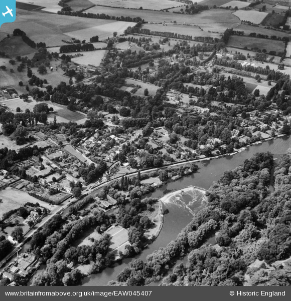
EAW045407 ENGLAND (1952). Ray Mill Island and Maidenhead Court, Maidenhead, 1952
© Copyright OpenStreetMap contributors and licensed by the OpenStreetMap Foundation. 2026. Cartography is licensed as CC BY-SA.
Nearby Images (4)
EAW045407

EAW045408

EAW051193

EPW022723

Details
| Title | [EAW045407] Ray Mill Island and Maidenhead Court, Maidenhead, 1952 |
| Reference | EAW045407 |
| Date | 6-August-1952 |
| Link | |
| Place name | MAIDENHEAD |
| Parish | |
| District | |
| Country | ENGLAND |
| Easting / Northing | 490222, 182853 |
| Longitude / Latitude | -0.69900948899124, 51.53688155078 |
| National Grid Reference | SU902829 |
Pins
Be the first to add a comment to this image!