
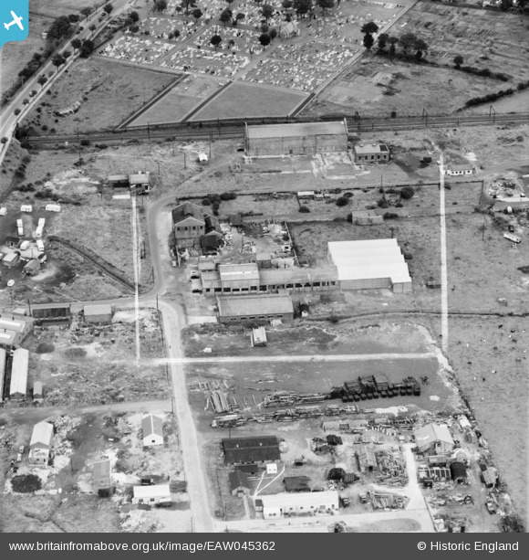
EAW045362 ENGLAND (1952). Part of the White Lund Industrial Estate, Morecambe, 1952. This image was marked by Aerofilms Ltd for photo editing.
© Copyright OpenStreetMap contributors and licensed by the OpenStreetMap Foundation. 2026. Cartography is licensed as CC BY-SA.
Nearby Images (6)
EAW045362

EAW045361

EAW045363

EAW045365

EAW045366

EAW045364

Details
| Title | [EAW045362] Part of the White Lund Industrial Estate, Morecambe, 1952. This image was marked by Aerofilms Ltd for photo editing. |
| Reference | EAW045362 |
| Date | 28-July-1952 |
| Link | |
| Place name | MORECAMBE |
| Parish | MORECAMBE |
| District | |
| Country | ENGLAND |
| Easting / Northing | 344857, 463224 |
| Longitude / Latitude | -2.8425811208347, 54.061824108328 |
| National Grid Reference | SD449632 |
Pins
Be the first to add a comment to this image!