
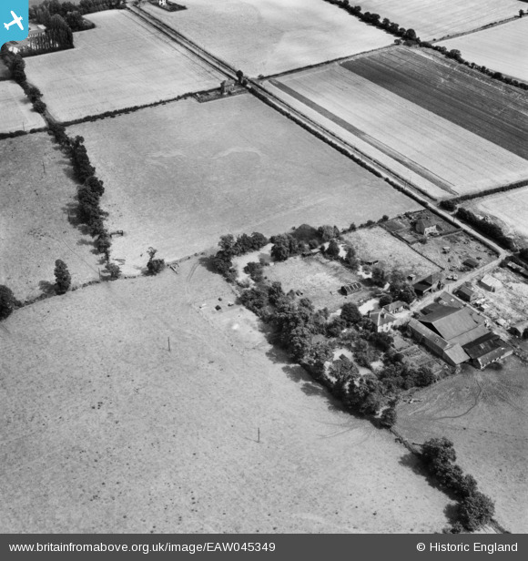
EAW045349 ENGLAND (1952). The Medieval Homestead Moat at Bowers Hall, Bowers Gifford, 1952
© Copyright OpenStreetMap contributors and licensed by the OpenStreetMap Foundation. 2026. Cartography is licensed as CC BY-SA.
Nearby Images (3)
EAW045349

EAW045350

EAW045351

Details
| Title | [EAW045349] The Medieval Homestead Moat at Bowers Hall, Bowers Gifford, 1952 |
| Reference | EAW045349 |
| Date | 2-August-1952 |
| Link | |
| Place name | BOWERS GIFFORD |
| Parish | BOWERS GIFFORD AND BENFLEET |
| District | |
| Country | ENGLAND |
| Easting / Northing | 575405, 187808 |
| Longitude / Latitude | 0.53081414750483, 51.561358018638 |
| National Grid Reference | TQ754878 |
Pins
Be the first to add a comment to this image!