
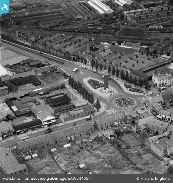
EAW044657 ENGLAND (1952). Memorial Square, Snibston, 1952
© Copyright OpenStreetMap contributors and licensed by the OpenStreetMap Foundation. 2026. Cartography is licensed as CC BY-SA.
Nearby Images (12)
EAW044657

EAW044656

EPW015171

EPW015165

EAW044570

EAW044571

EAW044569

EAW044572

EAW044573

EAW044568

EAW044567

EPW015172

Details
| Title | [EAW044657] Memorial Square, Snibston, 1952 |
| Reference | EAW044657 |
| Date | 15-July-1952 |
| Link | |
| Place name | SNIBSTON |
| Parish | |
| District | |
| Country | ENGLAND |
| Easting / Northing | 442341, 314450 |
| Longitude / Latitude | -1.3729866306993, 52.725695822988 |
| National Grid Reference | SK423145 |
Pins

Matt Aldred edob.mattaldred.com |
Sunday 2nd of March 2025 05:07:00 PM | |
|
Matt Aldred edob.mattaldred.com |
Sunday 2nd of March 2025 05:06:48 PM | |
|
Matt Aldred edob.mattaldred.com |
Sunday 2nd of March 2025 05:06:27 PM | |
|
Matt Aldred edob.mattaldred.com |
Friday 8th of March 2024 04:09:10 PM |
User Comment Contributions
This is actually Coalville not Snibston |

smd1uk |
Friday 6th of June 2014 08:13:46 PM |