
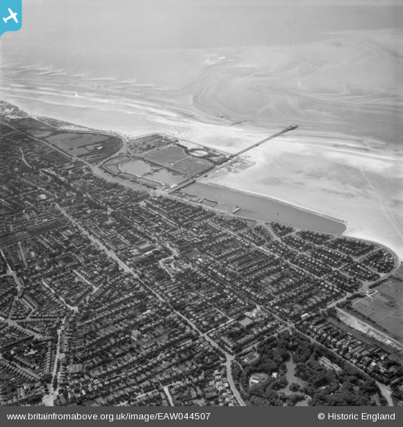
EAW044507 ENGLAND (1952). The town, Princes Park and the pier, Southport, 1952
© Copyright OpenStreetMap contributors and licensed by the OpenStreetMap Foundation. 2026. Cartography is licensed as CC BY-SA.
Nearby Images (7)
EAW044507

EPW058483

EPW058487

EPW018658

EPW003012

EPW003013

EPW005045

Details
| Title | [EAW044507] The town, Princes Park and the pier, Southport, 1952 |
| Reference | EAW044507 |
| Date | 4-July-1952 |
| Link | |
| Place name | SOUTHPORT |
| Parish | |
| District | |
| Country | ENGLAND |
| Easting / Northing | 333631, 417792 |
| Longitude / Latitude | -3.0042615024483, 53.652178984129 |
| National Grid Reference | SD336178 |
Pins

User Comment Contributions

Southport Pier, 26/04/2016 |

Class31 |
Tuesday 3rd of May 2016 05:53:05 PM |