
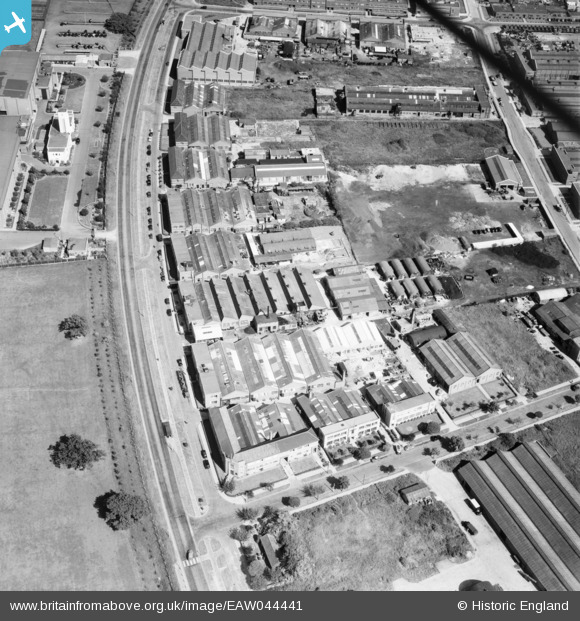
EAW044441 ENGLAND (1952). Industrial premises on Elstree Way, Borehamwood, 1952
© Copyright OpenStreetMap contributors and licensed by the OpenStreetMap Foundation. 2026. Cartography is licensed as CC BY-SA.
Nearby Images (48)
EAW044441

EAW044448

EAW044452

EAW008721

EAW044449

EAW023316

EAW012435

EAW044450

EAW044451

EAW043028

EAW012442

EAW043029

EAW043032

EAW012437

EAW023306

EAW012439

EAW043027

EAW011794

EAW012438

EAW012440

EAW012441

EAW043030

EAW011795

EAW043031

EAW012434

EAW012436

EAW023309

EAW023307

EAW023315

EAW013430

EAW023310

EAW017179

EPW057941
 under construction, Borehamwood, from the west, 1938")
EAW045739

EAW017180

EAW044310

EAW045741

EAW017178

EAW044444

EAW044443

EAW010079

EAW044442

EAW023312

EAW013214

EAW017173

EAW023311

EAW010077

EAW010078

Details
| Title | [EAW044441] Industrial premises on Elstree Way, Borehamwood, 1952 |
| Reference | EAW044441 |
| Date | 27-June-1952 |
| Link | |
| Place name | BOREHAMWOOD |
| Parish | ELSTREE AND BOREHAMWOOD |
| District | |
| Country | ENGLAND |
| Easting / Northing | 520442, 197049 |
| Longitude / Latitude | -0.25855484948894, 51.65883868085 |
| National Grid Reference | TQ204970 |
Pins
Be the first to add a comment to this image!