
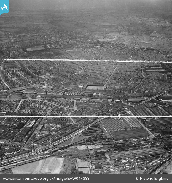
EAW044383 ENGLAND (1952). The Baseball Ground and environs, Derby, from the east, 1952. This image was marked by Aerofilms Ltd for photo editing.
© Copyright OpenStreetMap contributors and licensed by the OpenStreetMap Foundation. 2026. Cartography is licensed as CC BY-SA.
Nearby Images (3)
EAW044383

EAW044384

EAW013115

Details
| Title | [EAW044383] The Baseball Ground and environs, Derby, from the east, 1952. This image was marked by Aerofilms Ltd for photo editing. |
| Reference | EAW044383 |
| Date | 27-June-1952 |
| Link | |
| Place name | DERBY |
| Parish | |
| District | |
| Country | ENGLAND |
| Easting / Northing | 436493, 333942 |
| Longitude / Latitude | -1.4574054107871, 52.901357046883 |
| National Grid Reference | SK365339 |
Pins

Matt Aldred edob.mattaldred.com |
Tuesday 22nd of April 2025 05:33:15 PM |