
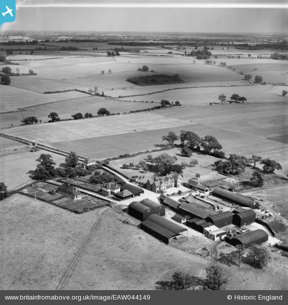
EAW044149 ENGLAND (1952). Albury Lodge, Albury, from the north-west, 1952
© Copyright OpenStreetMap contributors and licensed by the OpenStreetMap Foundation. 2024. Cartography is licensed as CC BY-SA.
Nearby Images (2)
EAW044149

EAW044152

Details
| Title | [EAW044149] Albury Lodge, Albury, from the north-west, 1952 |
| Reference | EAW044149 |
| Date | 16-June-1952 |
| Link | |
| Place name | ALBURY |
| Parish | ALBURY |
| District | |
| Country | ENGLAND |
| Easting / Northing | 544007, 224059 |
| Longitude / Latitude | 0.093147618265708, 51.896009399928 |
| National Grid Reference | TL440241 |
Pins
Be the first to add a comment to this image!