
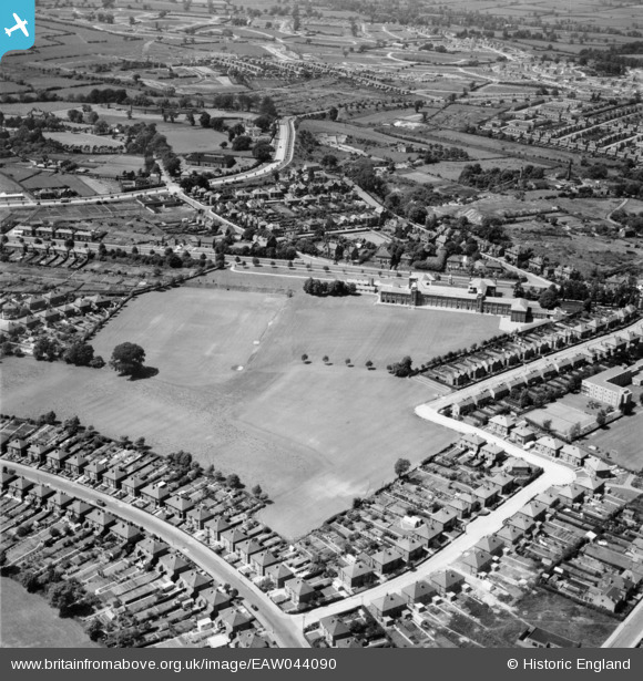
EAW044090 ENGLAND (1952). Bemrose School Playing Fields, Derby, 1952
© Copyright OpenStreetMap contributors and licensed by the OpenStreetMap Foundation. 2026. Cartography is licensed as CC BY-SA.
Nearby Images (2)
EAW044090

EAW044084

Details
| Title | [EAW044090] Bemrose School Playing Fields, Derby, 1952 |
| Reference | EAW044090 |
| Date | 10-June-1952 |
| Link | |
| Place name | DERBY |
| Parish | |
| District | |
| Country | ENGLAND |
| Easting / Northing | 433597, 335484 |
| Longitude / Latitude | -1.5003031007642, 52.91540850215 |
| National Grid Reference | SK336355 |
Pins

60's Soul |
Friday 30th of January 2026 05:55:37 PM | |
|
60's Soul |
Friday 30th of January 2026 05:54:11 PM | |
|
60's Soul |
Friday 30th of January 2026 05:53:18 PM | |
|
redmist |
Saturday 22nd of June 2019 06:25:57 PM | |

melgibbs |
Thursday 12th of June 2014 04:41:40 PM | |
|
melgibbs |
Thursday 12th of June 2014 04:41:04 PM | |
|
melgibbs |
Thursday 12th of June 2014 04:40:33 PM | |
|
melgibbs |
Thursday 12th of June 2014 04:40:07 PM | |
|
melgibbs |
Thursday 12th of June 2014 04:39:39 PM |