
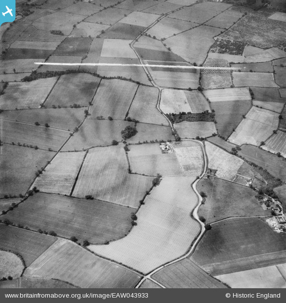
EAW043933 ENGLAND (1952). Giles Tuker Ltd Orchards surrounding Brook Farm, Maldon, 1952. This image was marked by Aerofilms Ltd for photo editing.
© Copyright OpenStreetMap contributors and licensed by the OpenStreetMap Foundation. 2025. Cartography is licensed as CC BY-SA.
Nearby Images (10)
EAW043933

EAW043936

EAW043932

EAW043934

EAW043453

EAW043935

EAW044284

EAW043455

EAW044285

EAW044286

Details
| Title | [EAW043933] Giles Tuker Ltd Orchards surrounding Brook Farm, Maldon, 1952. This image was marked by Aerofilms Ltd for photo editing. |
| Reference | EAW043933 |
| Date | 10-June-1952 |
| Link | |
| Place name | MALDON |
| Parish | MALDON |
| District | |
| Country | ENGLAND |
| Easting / Northing | 583166, 206706 |
| Longitude / Latitude | 0.65256160117928, 51.728645580047 |
| National Grid Reference | TL832067 |
Pins
Be the first to add a comment to this image!