
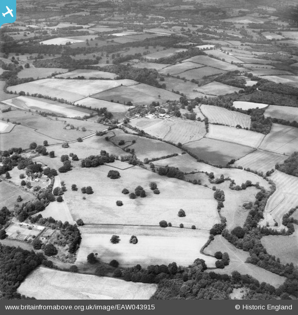
EAW043915 ENGLAND (1952). East Mascalls Farm and the surrounding countryside, East Mascalls, 1952
© Copyright OpenStreetMap contributors and licensed by the OpenStreetMap Foundation. 2026. Cartography is licensed as CC BY-SA.
Nearby Images (5)
EAW043915

EAW043916

EAW043907

EAW043905

EAW043917

Details
| Title | [EAW043915] East Mascalls Farm and the surrounding countryside, East Mascalls, 1952 |
| Reference | EAW043915 |
| Date | 10-June-1952 |
| Link | |
| Place name | EAST MASCALLS |
| Parish | LINDFIELD RURAL |
| District | |
| Country | ENGLAND |
| Easting / Northing | 536732, 125228 |
| Longitude / Latitude | -0.050738837168546, 51.009621424203 |
| National Grid Reference | TQ367252 |
Pins

Matt Aldred edob.mattaldred.com |
Friday 4th of December 2020 09:35:21 PM | |

Chris Willis |
Friday 25th of July 2014 10:36:03 PM | |
|
Chris Willis |
Friday 25th of July 2014 10:35:31 PM | |
|
Chris Willis |
Friday 25th of July 2014 10:34:06 PM |