
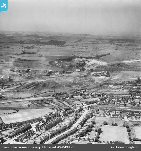
EAW043850 ENGLAND (1952). Hartington Colliery and the town, Staveley, from the south, 1952
© Copyright OpenStreetMap contributors and licensed by the OpenStreetMap Foundation. 2026. Cartography is licensed as CC BY-SA.
Nearby Images (2)
EAW043850

EAW044347

Details
| Title | [EAW043850] Hartington Colliery and the town, Staveley, from the south, 1952 |
| Reference | EAW043850 |
| Date | 10-June-1952 |
| Link | |
| Place name | STAVELEY |
| Parish | STAVELEY |
| District | |
| Country | ENGLAND |
| Easting / Northing | 442957, 374528 |
| Longitude / Latitude | -1.3558780425664, 53.26572819896 |
| National Grid Reference | SK430745 |
Pins

Waldemar |
Tuesday 7th of April 2020 07:37:24 AM | |
|
DaveH |
Monday 8th of April 2019 12:10:22 AM | |
|
DaveH |
Monday 8th of April 2019 12:09:27 AM | |
|
DaveH |
Monday 8th of April 2019 12:08:09 AM | |
|
Taylor986 |
Saturday 5th of July 2014 08:14:51 PM | |
|
Taylor986 |
Saturday 5th of July 2014 08:14:13 PM | |
|
Taylor986 |
Saturday 5th of July 2014 08:13:30 PM | |
|
Taylor986 |
Saturday 5th of July 2014 08:12:37 PM | |
|
Taylor986 |
Saturday 5th of July 2014 08:07:07 PM |