
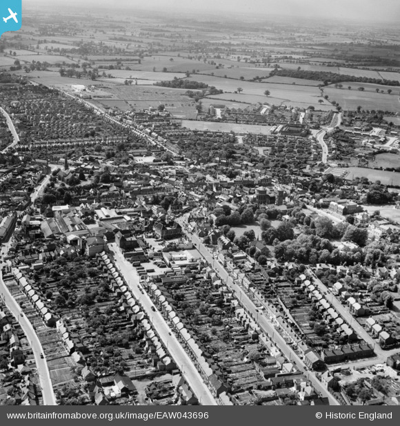
EAW043696 ENGLAND (1952). The town, Braintree, from the south-east, 1952
© Copyright OpenStreetMap contributors and licensed by the OpenStreetMap Foundation. 2026. Cartography is licensed as CC BY-SA.
Nearby Images (4)
EAW043696

EAW001517

EPW001743

EAW001516

Details
| Title | [EAW043696] The town, Braintree, from the south-east, 1952 |
| Reference | EAW043696 |
| Date | 4-June-1952 |
| Link | |
| Place name | BRAINTREE |
| Parish | |
| District | |
| Country | ENGLAND |
| Easting / Northing | 576021, 222996 |
| Longitude / Latitude | 0.55747481875407, 51.877269315326 |
| National Grid Reference | TL760230 |
Pins

Stephen Mirrington |
Wednesday 8th of October 2025 04:04:42 PM | |
|
Stephen Mirrington |
Wednesday 8th of October 2025 04:03:41 PM |