
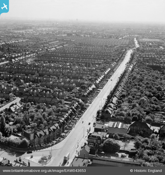
EAW043653 ENGLAND (1952). Green Lane, Goodmayes, from the north-east, 1952
© Copyright OpenStreetMap contributors and licensed by the OpenStreetMap Foundation. 2026. Cartography is licensed as CC BY-SA.
Nearby Images (2)
EAW043653

EAW043654

Details
| Title | [EAW043653] Green Lane, Goodmayes, from the north-east, 1952 |
| Reference | EAW043653 |
| Date | 4-June-1952 |
| Link | |
| Place name | GOODMAYES |
| Parish | |
| District | |
| Country | ENGLAND |
| Easting / Northing | 546218, 186975 |
| Longitude / Latitude | 0.10968371360262, 51.562196436624 |
| National Grid Reference | TQ462870 |
Pins

jonnyace |
Friday 29th of December 2023 11:43:17 PM | |
|
Madheia Salim |
Tuesday 16th of August 2022 01:04:23 PM | |
|
rac |
Saturday 2nd of August 2014 10:49:23 AM | |
|
rac |
Saturday 2nd of August 2014 10:42:39 AM |