
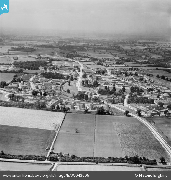
EAW043605 ENGLAND (1952). The Mark Hall area around Mandela Avenue/First Avenue, Harlow, from the east, 1952
© Copyright OpenStreetMap contributors and licensed by the OpenStreetMap Foundation. 2026. Cartography is licensed as CC BY-SA.
Nearby Images (2)
EAW043605

EAW043604

Details
| Title | [EAW043605] The Mark Hall area around Mandela Avenue/First Avenue, Harlow, from the east, 1952 |
| Reference | EAW043605 |
| Date | 4-June-1952 |
| Link | |
| Place name | HARLOW |
| Parish | |
| District | |
| Country | ENGLAND |
| Easting / Northing | 547096, 210938 |
| Longitude / Latitude | 0.13243384320895, 51.777300636725 |
| National Grid Reference | TL471109 |
Pins
Be the first to add a comment to this image!