
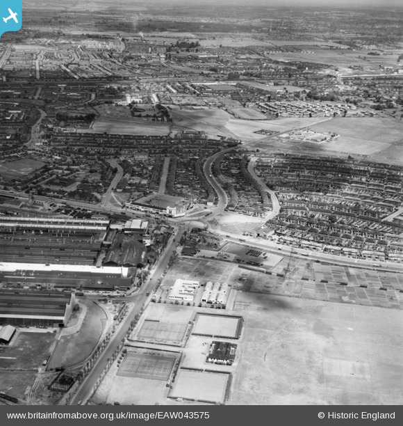
EAW043575 ENGLAND (1952). Kent Avenue, New Road and environs, Dagenham, from the south, 1952
© Copyright OpenStreetMap contributors and licensed by the OpenStreetMap Foundation. 2026. Cartography is licensed as CC BY-SA.
Nearby Images (15)
EAW043575

EAW043576

EAW052716

EAW052715

EAW016637

EAW026154

EAW040642

EAW040644

EAW026148

EAW052719

EAW052714

EAW052722

EAW040641

EAW040643

EAW026156

Details
| Title | [EAW043575] Kent Avenue, New Road and environs, Dagenham, from the south, 1952 |
| Reference | EAW043575 |
| Date | 4-June-1952 |
| Link | |
| Place name | DAGENHAM |
| Parish | |
| District | |
| Country | ENGLAND |
| Easting / Northing | 549555, 183175 |
| Longitude / Latitude | 0.15617950860432, 51.527174284767 |
| National Grid Reference | TQ496832 |
Pins

jonnyace |
Wednesday 17th of January 2024 07:59:54 PM | |
|
jonnyace |
Wednesday 17th of January 2024 07:58:45 PM | |
|
jonnyace |
Wednesday 17th of January 2024 07:57:36 PM | |
|
jonnyace |
Wednesday 17th of January 2024 07:54:16 PM | |
|
jonnyace |
Wednesday 17th of January 2024 07:07:41 PM |