
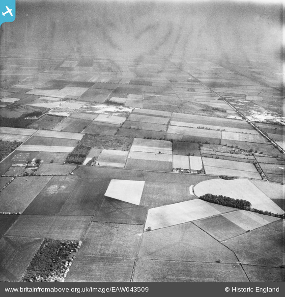
EAW043509 ENGLAND (1952). Machin's Plantation and Blaxton Common, Blaxton, from the west, 1952
© Copyright OpenStreetMap contributors and licensed by the OpenStreetMap Foundation. 2025. Cartography is licensed as CC BY-SA.
Nearby Images (2)
EAW043509

EAW043510

Details
| Title | [EAW043509] Machin's Plantation and Blaxton Common, Blaxton, from the west, 1952 |
| Reference | EAW043509 |
| Date | 21-May-1952 |
| Link | |
| Place name | BLAXTON |
| Parish | BLAXTON |
| District | |
| Country | ENGLAND |
| Easting / Northing | 467127, 401081 |
| Longitude / Latitude | -0.98786481503572, 53.501884832673 |
| National Grid Reference | SE671011 |
Pins
Be the first to add a comment to this image!