
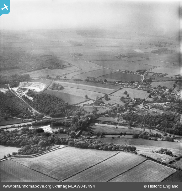
EAW043494 ENGLAND (1952). The Sheffield & South Yorkshire Navigation Sprotbrough Cut and the surrounding area, Sprotbrough, from the south-east, 1952
© Copyright OpenStreetMap contributors and licensed by the OpenStreetMap Foundation. 2025. Cartography is licensed as CC BY-SA.
Nearby Images (2)
EAW043494

EAW043495

Details
| Title | [EAW043494] The Sheffield & South Yorkshire Navigation Sprotbrough Cut and the surrounding area, Sprotbrough, from the south-east, 1952 |
| Reference | EAW043494 |
| Date | 21-May-1952 |
| Link | |
| Place name | SPROTBROUGH |
| Parish | SPROTBROUGH AND CUSWORTH |
| District | |
| Country | ENGLAND |
| Easting / Northing | 453896, 401510 |
| Longitude / Latitude | -1.1872622057268, 53.507263444791 |
| National Grid Reference | SE539015 |
Pins

redmist |
Thursday 11th of October 2018 09:49:47 AM |