
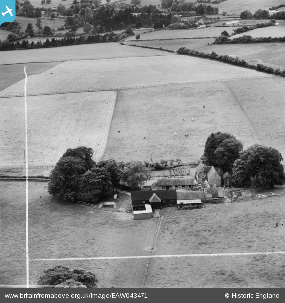
EAW043471 ENGLAND (1952). Bishop's Down Farm, Bishop's Waltham, 1952. This image was marked by Aerofilms Ltd for photo editing.
© Copyright OpenStreetMap contributors and licensed by the OpenStreetMap Foundation. 2026. Cartography is licensed as CC BY-SA.
Nearby Images (6)
EAW043471

EAW043470

EAW043469

EAW043474

EAW043473

EAW043472

Details
| Title | [EAW043471] Bishop's Down Farm, Bishop's Waltham, 1952. This image was marked by Aerofilms Ltd for photo editing. |
| Reference | EAW043471 |
| Date | 3-June-1952 |
| Link | |
| Place name | BISHOP'S WALTHAM |
| Parish | BISHOPS WALTHAM |
| District | |
| Country | ENGLAND |
| Easting / Northing | 456595, 118549 |
| Longitude / Latitude | -1.1940115723191, 50.963035301122 |
| National Grid Reference | SU566185 |
Pins
Be the first to add a comment to this image!