
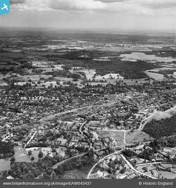
EAW043437 ENGLAND (1952). The landscape towards Denham and the valley of the River Colne, Gerrard's Cross, from the south-west, 1952
© Copyright OpenStreetMap contributors and licensed by the OpenStreetMap Foundation. 2026. Cartography is licensed as CC BY-SA.
Nearby Images (2)
EAW043437

EPW005684

Details
| Title | [EAW043437] The landscape towards Denham and the valley of the River Colne, Gerrard's Cross, from the south-west, 1952 |
| Reference | EAW043437 |
| Date | 28-May-1952 |
| Link | |
| Place name | GERRARD'S CROSS |
| Parish | GERRARDS CROSS |
| District | |
| Country | ENGLAND |
| Easting / Northing | 499739, 188826 |
| Longitude / Latitude | -0.56012464077038, 51.588974626769 |
| National Grid Reference | SU997888 |
Pins
Be the first to add a comment to this image!