
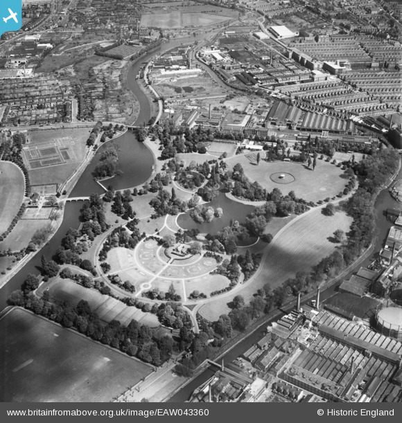
EAW043360 ENGLAND (1952). Abbey Park, Leicester, 1952
© Copyright OpenStreetMap contributors and licensed by the OpenStreetMap Foundation. 2026. Cartography is licensed as CC BY-SA.
Nearby Images (8)
EAW043360

EAW051827

EAW024248

EAW043361

EPW055004

EAW051825

EAW051824

EAW010416

Details
| Title | [EAW043360] Abbey Park, Leicester, 1952 |
| Reference | EAW043360 |
| Date | 13-May-1952 |
| Link | |
| Place name | LEICESTER |
| Parish | |
| District | |
| Country | ENGLAND |
| Easting / Northing | 458678, 305721 |
| Longitude / Latitude | -1.1326398677572, 52.645699320687 |
| National Grid Reference | SK587057 |
Pins
Be the first to add a comment to this image!