
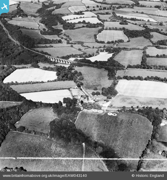
EAW043140 ENGLAND (1952). Sleeches and surrounding countryside, High Hurstwood, 1952. This image has been produced from a print marked by Aerofilms Ltd for photo editing.
© Copyright OpenStreetMap contributors and licensed by the OpenStreetMap Foundation. 2026. Cartography is licensed as CC BY-SA.
Nearby Images (9)
EAW043140

EAW043135

EAW043143

EAW043139

EAW043142

EAW043141

EAW043136

EAW043137

EAW043138

Details
| Title | [EAW043140] Sleeches and surrounding countryside, High Hurstwood, 1952. This image has been produced from a print marked by Aerofilms Ltd for photo editing. |
| Reference | EAW043140 |
| Date | 21-May-1952 |
| Link | |
| Place name | HIGH HURSTWOOD |
| Parish | BUXTED |
| District | |
| Country | ENGLAND |
| Easting / Northing | 550860, 126000 |
| Longitude / Latitude | 0.15084724580132, 51.013026960669 |
| National Grid Reference | TQ509260 |
Pins

Matt Aldred edob.mattaldred.com |
Friday 4th of December 2020 09:19:33 PM | |
|
Matt Aldred edob.mattaldred.com |
Friday 4th of December 2020 09:19:18 PM | |
|
Matt Aldred edob.mattaldred.com |
Friday 4th of December 2020 09:18:55 PM | |
|
Matt Aldred edob.mattaldred.com |
Friday 4th of December 2020 09:17:06 PM | |
|
Matt Aldred edob.mattaldred.com |
Friday 4th of December 2020 09:16:38 PM | |

Robnotso |
Friday 19th of August 2016 05:25:50 PM |