
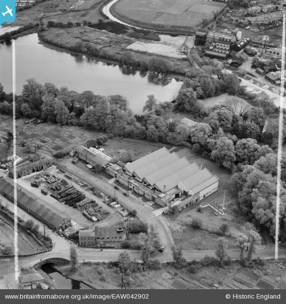
EAW042902 ENGLAND (1952). The Worcester Brass Co Ltd Works on Ebury Road, Lifford, 1952. This image was marked by Aerofilms Ltd for photo editing.
© Copyright OpenStreetMap contributors and licensed by the OpenStreetMap Foundation. 2026. Cartography is licensed as CC BY-SA.
Nearby Images (24)
EAW042902

EAW042903

EAW037647

EAW042901

EAW037648

EAW042892

EAW042900

EAW042894

EAW042895

EAW042898

EAW042896

EAW042897

EAW042893

EAW042905

EAW042899

EAW042904

EAW037651

EAW037655

EAW037649

EAW037656

EAW037654

EAW037650

EAW037653

EAW037652

Details
| Title | [EAW042902] The Worcester Brass Co Ltd Works on Ebury Road, Lifford, 1952. This image was marked by Aerofilms Ltd for photo editing. |
| Reference | EAW042902 |
| Date | 5-July-1952 |
| Link | |
| Place name | LIFFORD |
| Parish | |
| District | |
| Country | ENGLAND |
| Easting / Northing | 405676, 279775 |
| Longitude / Latitude | -1.9165373809098, 52.41556551844 |
| National Grid Reference | SP057798 |
Pins
Be the first to add a comment to this image!