
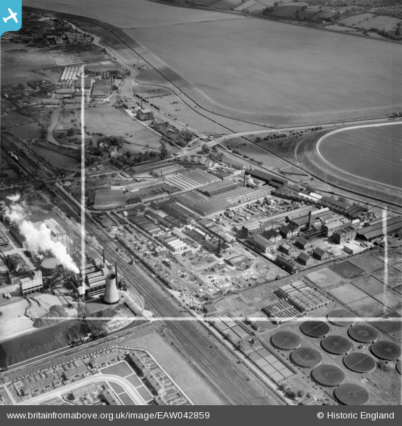
EAW042859 ENGLAND (1952). Riverside Industrial Estate, Ponders End, 1952. This image was marked by Aerofilms Ltd for photo editing.
© Copyright OpenStreetMap contributors and licensed by the OpenStreetMap Foundation. 2026. Cartography is licensed as CC BY-SA.
Nearby Images (18)
EAW042859

EAW035937

EAW035939

EAW042861

EAW042865

EAW035936

EAW042868

EAW035935

EAW035941

EAW035940

EAW035938

EAW042860

EAW042864

EAW042863

EAW042867

EAW042858

EAW042862

EAW042866

Details
| Title | [EAW042859] Riverside Industrial Estate, Ponders End, 1952. This image was marked by Aerofilms Ltd for photo editing. |
| Reference | EAW042859 |
| Date | 5-July-1952 |
| Link | |
| Place name | PONDERS END |
| Parish | |
| District | |
| Country | ENGLAND |
| Easting / Northing | 536185, 195286 |
| Longitude / Latitude | -0.031753102947736, 51.639400178085 |
| National Grid Reference | TQ362953 |
Pins
Be the first to add a comment to this image!