
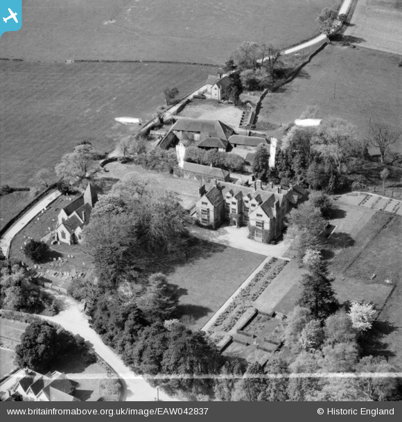
EAW042837 ENGLAND (1952). Streat Place and the church, Streat, 1952. This image was marked by Aerofilms Ltd for photo editing.
© Copyright OpenStreetMap contributors and licensed by the OpenStreetMap Foundation. 2025. Cartography is licensed as CC BY-SA.
Nearby Images (12)
EAW042837

EAW042832

EAW042841

EAW042840

EAW042834

EAW042833

EAW042838

EAW042831

EAW042835

EAW042830

EAW042836

EAW042839

Details
| Title | [EAW042837] Streat Place and the church, Streat, 1952. This image was marked by Aerofilms Ltd for photo editing. |
| Reference | EAW042837 |
| Date | 30-April-1952 |
| Link | |
| Place name | STREAT |
| Parish | STREAT |
| District | |
| Country | ENGLAND |
| Easting / Northing | 535064, 115213 |
| Longitude / Latitude | -0.078222489115966, 50.919998199424 |
| National Grid Reference | TQ351152 |
Pins
Be the first to add a comment to this image!