
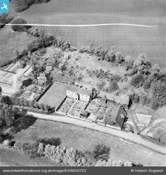
EAW042719 ENGLAND (1952). Fulvens Farm, Hoe, 1952. This image was marked by Aerofilms Ltd for photo editing.
© Copyright OpenStreetMap contributors and licensed by the OpenStreetMap Foundation. 2025. Cartography is licensed as CC BY-SA.
Nearby Images (11)
EAW042719

EAW042717

EAW042718

EAW042723
 and Fulvens Farm, Hoe, 1952")
EAW042721
, Hoe, 1952")
EAW042724
, Hoe, 1952")
EAW042720
, Hoe, 1952")
EAW042728
 and the surrounding area, Hoe, 1952")
EAW042730
 and the surrounding area, Hoe, 1952")
EAW042722
, Hoe, 1952")
EAW042725
, Hoe, 1952")
Details
| Title | [EAW042719] Fulvens Farm, Hoe, 1952. This image was marked by Aerofilms Ltd for photo editing. |
| Reference | EAW042719 |
| Date | 29-April-1952 |
| Link | |
| Place name | HOE |
| Parish | SHERE |
| District | |
| Country | ENGLAND |
| Easting / Northing | 509779, 146419 |
| Longitude / Latitude | -0.42836071803581, 51.20590039759 |
| National Grid Reference | TQ098464 |
Pins
Be the first to add a comment to this image!