
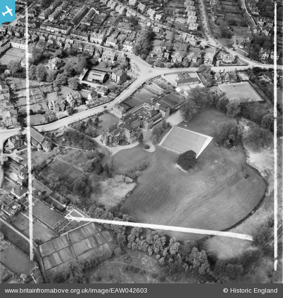
EAW042603 ENGLAND (1952). Holy Trinity Convent School and environs, Bromley, 1952. This image was marked by Aerofilms Ltd for photo editing.
© Copyright OpenStreetMap contributors and licensed by the OpenStreetMap Foundation. 2026. Cartography is licensed as CC BY-SA.
Nearby Images (8)
EAW042603

EAW042602

EAW042607

EAW042605

EAW042601

EAW042608

EAW042604

EAW042606

Details
| Title | [EAW042603] Holy Trinity Convent School and environs, Bromley, 1952. This image was marked by Aerofilms Ltd for photo editing. |
| Reference | EAW042603 |
| Date | 22-April-1952 |
| Link | |
| Place name | BROMLEY |
| Parish | |
| District | |
| Country | ENGLAND |
| Easting / Northing | 541116, 170006 |
| Longitude / Latitude | 0.029337456079598, 51.410998245396 |
| National Grid Reference | TQ411700 |
