
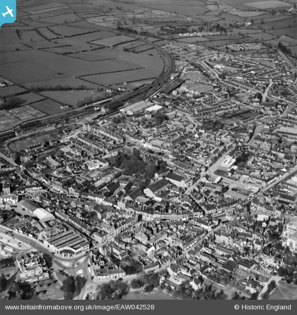
EAW042528 ENGLAND (1952). The town centre, Melton Mowbray, 1952
© Copyright OpenStreetMap contributors and licensed by the OpenStreetMap Foundation. 2026. Cartography is licensed as CC BY-SA.
Nearby Images (8)
EAW042528

EPW014946

EAW049205

EAW049204

EAW042527

EAW042526

EPW058210

EPW058214

Details
| Title | [EAW042528] The town centre, Melton Mowbray, 1952 |
| Reference | EAW042528 |
| Date | 17-April-1952 |
| Link | |
| Place name | MELTON MOWBRAY |
| Parish | |
| District | |
| Country | ENGLAND |
| Easting / Northing | 475320, 319348 |
| Longitude / Latitude | -0.88356588546516, 52.766136265857 |
| National Grid Reference | SK753193 |
Pins
Be the first to add a comment to this image!