
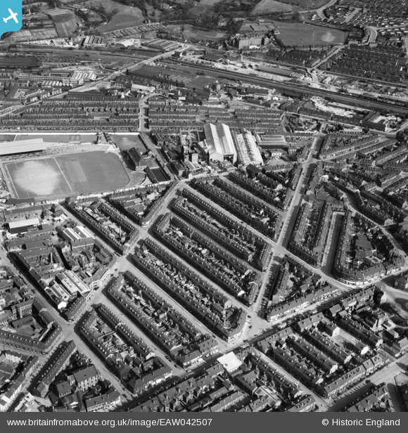
EAW042507 ENGLAND (1952). The residential area surrounding Bramall Lane Football Ground, Highfield, 1952
© Copyright OpenStreetMap contributors and licensed by the OpenStreetMap Foundation. 2026. Cartography is licensed as CC BY-SA.
Nearby Images (11)
EAW042507

EPW041622

EAW014684

EAW014683

EAW014663

EAW014662

EAW014677

EAW014678

EAW014676

EAW014674

EAW014682

Details
| Title | [EAW042507] The residential area surrounding Bramall Lane Football Ground, Highfield, 1952 |
| Reference | EAW042507 |
| Date | 17-April-1952 |
| Link | |
| Place name | HIGHFIELD |
| Parish | |
| District | |
| Country | ENGLAND |
| Easting / Northing | 435176, 385891 |
| Longitude / Latitude | -1.4712839322535, 53.368447377058 |
| National Grid Reference | SK352859 |
Pins

gBr |
Sunday 26th of February 2017 03:01:17 PM | |
|
gBr |
Sunday 26th of February 2017 03:00:22 PM | |
|
gBr |
Sunday 26th of February 2017 02:58:18 PM | |
|
travellingpass |
Friday 2nd of January 2015 05:06:46 PM | |
|
travellingpass |
Friday 2nd of January 2015 05:02:52 PM | |
|
travellingpass |
Friday 2nd of January 2015 05:01:17 PM |
User Comment Contributions
Thursday, the week after Easter. Reserve team game in progress ?? |
gBr |
Sunday 26th of February 2017 02:39:19 PM |