
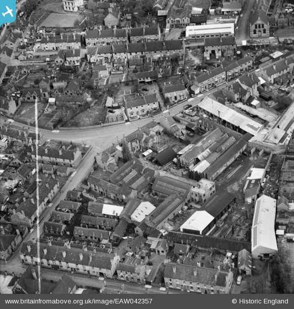
EAW042357 ENGLAND (1952). The Crown Engineering Works, Cradley Heath, 1952. This image was marked by Aerofilms Ltd for photo editing.
© Copyright OpenStreetMap contributors and licensed by the OpenStreetMap Foundation. 2026. Cartography is licensed as CC BY-SA.
Nearby Images (10)
EAW042357

EAW042351

EAW042359

EAW042350

EAW042358

EAW042354

EAW042352

EAW042355

EAW042353

EAW042356

Details
| Title | [EAW042357] The Crown Engineering Works, Cradley Heath, 1952. This image was marked by Aerofilms Ltd for photo editing. |
| Reference | EAW042357 |
| Date | May-1952 |
| Link | |
| Place name | CRADLEY HEATH |
| Parish | |
| District | |
| Country | ENGLAND |
| Easting / Northing | 395074, 286309 |
| Longitude / Latitude | -2.0725306921495, 52.474320334295 |
| National Grid Reference | SO951863 |
Pins
Be the first to add a comment to this image!