
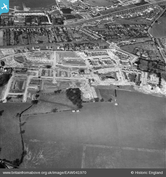
EAW041970 ENGLAND (1952). Development of the Roe Green neighbourhood, Roe Green, 1952
© Copyright OpenStreetMap contributors and licensed by the OpenStreetMap Foundation. 2026. Cartography is licensed as CC BY-SA.
Nearby Images (3)
EAW041970

EPW061119

EAW041972

Details
| Title | [EAW041970] Development of the Roe Green neighbourhood, Roe Green, 1952 |
| Reference | EAW041970 |
| Date | 14-March-1952 |
| Link | |
| Place name | ROE GREEN |
| Parish | HATFIELD |
| District | |
| Country | ENGLAND |
| Easting / Northing | 521916, 208217 |
| Longitude / Latitude | -0.23334636706861, 51.758897887798 |
| National Grid Reference | TL219082 |
Pins

Matt Aldred edob.mattaldred.com |
Sunday 19th of September 2021 09:02:54 PM | |

David960 |
Sunday 8th of February 2015 07:24:35 PM |