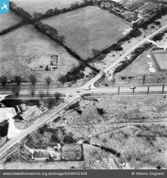
EAW041408 ENGLAND (1951). The junction of Barnet By-Pass and Rowley Lane, Barnet, 1951. This image has been produced from a print.
    © Copyright OpenStreetMap contributors and licensed by the OpenStreetMap Foundation. 2025. Cartography is licensed as CC BY-SA.
  
Nearby Images (5)
Details
| Title | [EAW041408] The junction of Barnet By-Pass and Rowley Lane, Barnet, 1951. This image has been produced from a print. | 
| Reference | EAW041408 | 
| Date | 27-December-1951 | 
| Link | |
| Place name | BARNET | 
| Parish | |
| District | |
| Country | ENGLAND | 
| Easting / Northing | 521213, 196583 | 
| Longitude / Latitude | -0.24757432410728, 51.654484467612 | 
| National Grid Reference | TQ212966 | 
Pins
Be the first to add a comment to this image!
 
             
  ![[EAW041408] The junction of Barnet By-Pass and Rowley Lane, Barnet, 1951. This image has been produced from a print.](http://britainfromabove.org.uk/sites/all/libraries/aerofilms-images/public/100x100/EAW/041/EAW041408.jpg) 
  
                                          ![[EPW046584] The Thatched Barn and the Barnet Bypass, Borehamwood, 1935](http://britainfromabove.org.uk/sites/all/libraries/aerofilms-images/public/100x100/EPW/046/EPW046584.jpg) 
 ![[EPW046583] The Thatched Barn and the Barnet Bypass, Borehamwood, 1935](http://britainfromabove.org.uk/sites/all/libraries/aerofilms-images/public/100x100/EPW/046/EPW046583.jpg) 
 ![[EAW044445] The Thatched Barn roadhouse and industrial premises on Elstree Way, Borehamwood, 1952](http://britainfromabove.org.uk/sites/all/libraries/aerofilms-images/public/100x100/EAW/044/EAW044445.jpg) 
 ![[EAW044447] The Thatched Barn roadhouse and industrial premises between Elstree Way and Chester Road, Borehamwood, 1952](http://britainfromabove.org.uk/sites/all/libraries/aerofilms-images/public/100x100/EAW/044/EAW044447.jpg)