
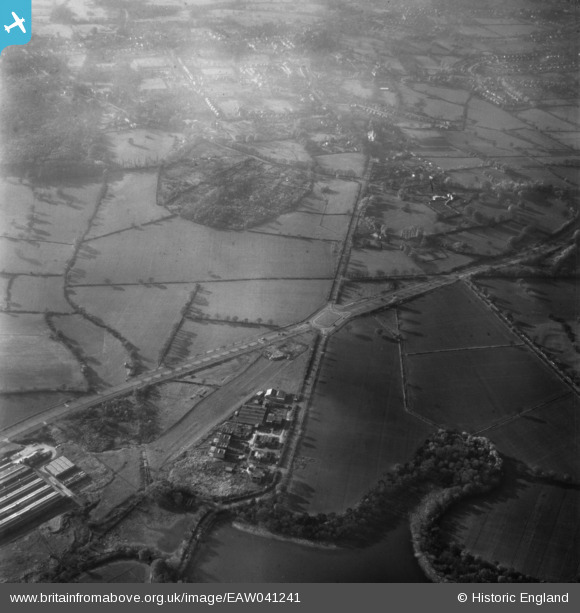
EAW041241 ENGLAND (1951). The roundabout junction for the Watford Bypass and Elstree Road, Bushey Heath, 1951
© Copyright OpenStreetMap contributors and licensed by the OpenStreetMap Foundation. 2026. Cartography is licensed as CC BY-SA.
Nearby Images (6)
EAW041241

EPW053054

EPW053051

EAW027661
 in flight over the Elstree Road and North Western Avenue junction, Bushey Heath, 1949")
EPW053045

EPW053033

Details
| Title | [EAW041241] The roundabout junction for the Watford Bypass and Elstree Road, Bushey Heath, 1951 |
| Reference | EAW041241 |
| Date | 14-November-1951 |
| Link | |
| Place name | BUSHEY HEATH |
| Parish | |
| District | |
| Country | ENGLAND |
| Easting / Northing | 516241, 194984 |
| Longitude / Latitude | -0.31995403012409, 51.641162351168 |
| National Grid Reference | TQ162950 |
Pins

Mobic |
Wednesday 12th of November 2014 02:49:21 PM | |
|
mapgeek |
Monday 28th of April 2014 04:46:02 PM | |
|
mapgeek |
Monday 28th of April 2014 04:43:35 PM | |
|
mapgeek |
Monday 28th of April 2014 04:40:11 PM | |
|
mapgeek |
Monday 28th of April 2014 04:39:40 PM | |
|
mapgeek |
Monday 28th of April 2014 04:38:59 PM | |
|
mapgeek |
Monday 28th of April 2014 04:38:14 PM |