
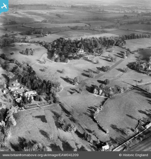
EAW041209 ENGLAND (1951). Bowl Farm, Abbotswood and the surrounding countryside, Lower Swell, 1951. This image has been produced from a print.
© Copyright OpenStreetMap contributors and licensed by the OpenStreetMap Foundation. 2026. Cartography is licensed as CC BY-SA.
Nearby Images (6)
EAW041209

EAW041210

EAW041203

EAW041206

EAW041204

EAW041208

Details
| Title | [EAW041209] Bowl Farm, Abbotswood and the surrounding countryside, Lower Swell, 1951. This image has been produced from a print. |
| Reference | EAW041209 |
| Date | 10-November-1951 |
| Link | |
| Place name | LOWER SWELL |
| Parish | SWELL |
| District | |
| Country | ENGLAND |
| Easting / Northing | 417943, 226040 |
| Longitude / Latitude | -1.7390018928051, 51.932148782161 |
| National Grid Reference | SP179260 |
Pins
Be the first to add a comment to this image!