
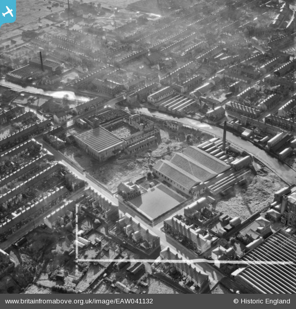
EAW041132 ENGLAND (1951). The Wheatfield Carpet Mill and the surrounding residential area, Rishton, 1951. This image was marked by Aerofilms Ltd for photo editing.
© Copyright OpenStreetMap contributors and licensed by the OpenStreetMap Foundation. 2025. Cartography is licensed as CC BY-SA.
Nearby Images (7)
EAW041132

EAW041133

EAW041131

EAW041130

EAW041135

EAW041134

EAW041136

Details
| Title | [EAW041132] The Wheatfield Carpet Mill and the surrounding residential area, Rishton, 1951. This image was marked by Aerofilms Ltd for photo editing. |
| Reference | EAW041132 |
| Date | 31-October-1951 |
| Link | |
| Place name | RISHTON |
| Parish | |
| District | |
| Country | ENGLAND |
| Easting / Northing | 372931, 430424 |
| Longitude / Latitude | -2.4107275276675, 53.76923773715 |
| National Grid Reference | SD729304 |
Pins
Be the first to add a comment to this image!