
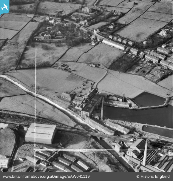
EAW041119 ENGLAND (1951). New Hall Hey Mills and the surrounding area, New Hall Hey, 1951. This image was marked by Aerofilms Ltd for photo editing.
© Copyright OpenStreetMap contributors and licensed by the OpenStreetMap Foundation. 2026. Cartography is licensed as CC BY-SA.
Nearby Images (8)
EAW041119

EAW041115

EAW041117

EAW041118

EAW041114

EAW041116

EAW041120

EAW041121

Details
| Title | [EAW041119] New Hall Hey Mills and the surrounding area, New Hall Hey, 1951. This image was marked by Aerofilms Ltd for photo editing. |
| Reference | EAW041119 |
| Date | 31-October-1951 |
| Link | |
| Place name | NEW HALL HEY |
| Parish | |
| District | |
| Country | ENGLAND |
| Easting / Northing | 380369, 422351 |
| Longitude / Latitude | -2.2973575436815, 53.697003130203 |
| National Grid Reference | SD804224 |
Pins
Be the first to add a comment to this image!